Turning Overgrowth into New Visions
Proudly Serving Northern Michigan within a 100-mile radius of Charlevoix County
Walking Trail Clearing in Northern Michigan
Create a clear route through wooded or overgrown acreage for recreation, hunting access, property inspections, and easier movement. New Vision Land Clearing builds trails around the way you want to use the land.
- Family-Operated
- 30+ Years of Experience
- Serving Within 100 Miles of Charlevoix, MI
Reliable Land Services Across Northern Michigan
Experience More of the Property You Already Own
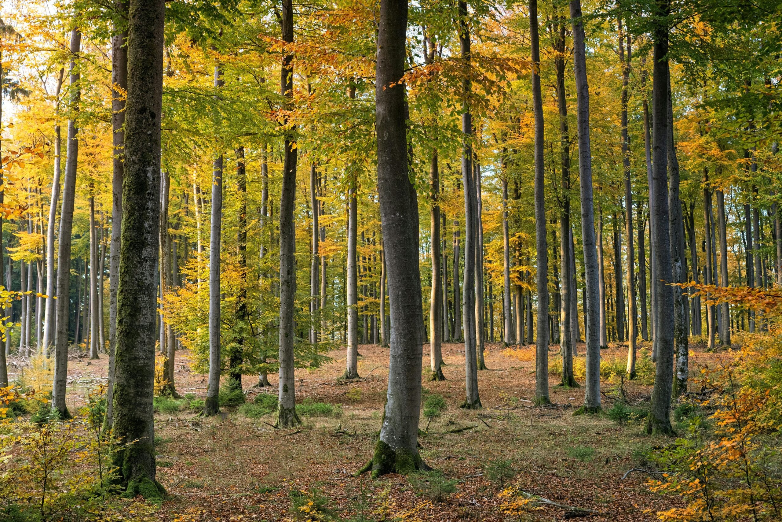
Large or wooded properties can hold places the owner rarely reaches. Thick brush, fallen material, small trees, wet areas, and unclear routes make it harder to inspect boundaries, reach hunting areas, walk for recreation, or simply enjoy the land.
A useful trail is not created by choosing the shortest line between two points. Slope, drainage, soil, sensitive areas, property boundaries, sightlines, intended users, width, turns, and future maintenance all shape the route. A poorly placed trail can collect water, cross unstable ground, or require more upkeep than expected.
New Vision Land Clearing removes brush, small trees, and natural obstacles to create or reopen defined paths. Forestry mulching may be used where it fits the vegetation and desired finish. The final route and width should reflect whether the trail is intended for walking, hunting access, inspection, maintenance equipment, or another approved use.
Trail Uses We Can Discuss
Tell us where you want to go and how you plan to use the route. We can discuss a trail width and finish that fit the property.
Card 01 — Recreational Walking
Create a defined route for walking and enjoying more of your wooded property.
Card 02 — Hunting Access
Discuss routes to hunting areas and deer plots while considering the land and existing features.
Card 03 — Property Inspections
Make it easier to reach boundaries and areas that need regular inspection.
Card 04 — Connected Clearings
Link roads, cabins, clearings, overlooks, or other property features.
Card 05 — Existing Trail Reopening
Clear overgrowth from an existing path after reviewing whether its route still works.
Card 06 — Wooded Acreage Routes
Plan a route through larger acreage around terrain, vegetation, and intended use.
Plan a Trail That Fits the Land
A useful trail starts with the intended destination, then accounts for the conditions along the route.
Card 01 — Start With the Destination
Identify what the trail should connect: a road, cabin, hunting area, overlook, property boundary, food plot, or another feature.
Card 02 — Walk the Proposed Route
Review slope, wet areas, obstacles, trees to retain, turns, crossings, and the experience of traveling the path.
Card 03 — Choose the Appropriate Width and Finish
A walking-only trail may differ from a route intended for maintenance or property equipment. Clearly define the expected users before quoting.
Card 04 — Plan for Water and Maintenance
Leaves, branches, regrowth, erosion, and drainage can affect long-term use. The property owner should understand the maintenance expected after installation.
Deer Plot Projects in Northern Michigan
See how wooded and overgrown areas can be prepared around the specific access, planting, and management goals of Northern Michigan property owners.
Service Area
Counties We Serve
- Charlevoix
- Cheboygan
- Emmet
- Otsego
- Antrim
- Grand Traverse
- Benzie
- Kalkaska
- Crawford
- Leelanau
Not sure whether your property is within range? Call 231-237-2880 with your project location.
Work With Us
Our process is simple. Get in touch with us, from there we will provide you with a free quote, and before long the job is done!
Get in Touch
Get A Free Quote
We Tackle Your Project
Frequently Asked Questions About Walking Trails
Width depends on intended use, terrain, vegetation, turns, accessibility goals, maintenance equipment, and the desired appearance. A footpath and an equipment-access route require different plans.
Often, but the route should first be checked for fallen trees, erosion, wet areas, unstable slopes, boundary issues, and whether the old alignment still fits the intended use.
No cleared trail is maintenance-free. Regrowth, fallen limbs, leaves, drainage, erosion, and seasonal conditions can require periodic attention.
The best approach depends on soil, drainage, seasonal water, slope, environmental constraints, and intended use. Rerouting may be preferable. Crossings, fill, or structures may require additional design or approvals.
Pricing depends on trail length and width, vegetation density, tree size, terrain, access, wet areas, obstacles, desired finish, and equipment required. Share a map or proposed route and current photos for a more useful quote.
New Vision Land Clearing serves properties within a 100-mile radius of Charlevoix, including areas in Charlevoix, Cheboygan, Emmet, Otsego, Antrim, Grand Traverse, Benzie, Kalkaska, Crawford, and Leelanau counties.
Send the property location, approximate trail route and length, intended use, current photos, and any known wet or steep areas. We will review the project and provide a free quote based on the site.